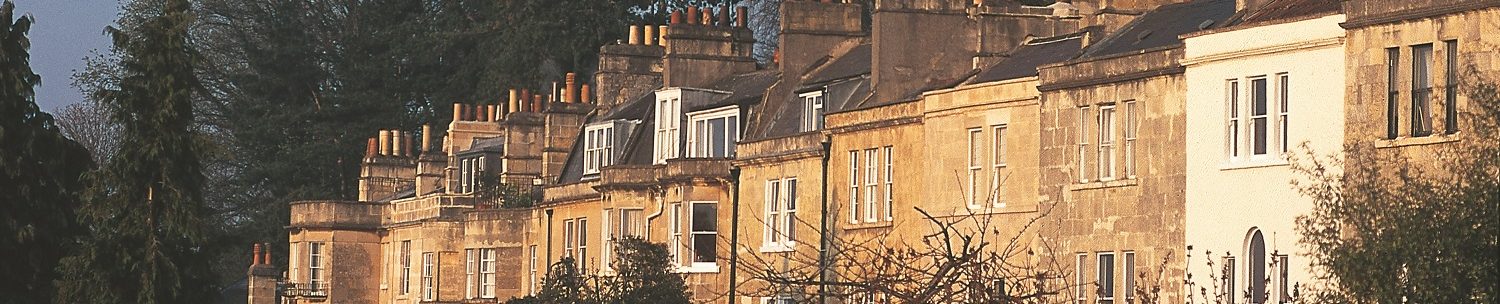

The historic Camden area of Bath is situated on the northern slopes of the city, with views across the city centre towards Beechen Cliff in the south, and Bathford, Bathampton and Batheaston in the east.
Camden Road runs east-west and forms the spine of the area. It consists of a number of individually named terraces, each with its own character and architectural style. Camden Crescent, designed by John Everleigh, was built in 1787/8 at the western end of Camden Road, and is a prominent landmark visible from many areas of the city.
Other roads in Camden include Frankley Buildings, Upper Hedgemead Road and Belgrave Crescent, Bennetts Lane, Seymour Road and Perfect View.
Shops and businesses at the eastern end of Camden Road include The Claremont pub (great pizzas!), two estate agencies, a hairdresser and a chemist.
Larkhall village, approximately 10 minutes’ walk from Camden, offers a wider range of facilities including a post office, dentist and Co-op supermarket as well as an independent butcher, greengrocer, delicatessen and hardware store.
Fairfield Park Health Centre, a GP practice, is at the eastern end of Camden Road: www.fairfieldparkhc.co.uk.
Local primary schools include St Andrew’s and St Stephen’s, and secondary schools include Kingswood School and the Royal High School. All are within easy walking distance of Camden Road. St Saviour’s primary school and St Mark’s secondary schools are a little further afield in Larkhall, but still easily accessible from Camden.